OpenStreetMap logo OpenStreetMap

Diary Entries in English

Recent diary entries

Posted by jimmyjamjar10101 on 10 November 2025 in English.

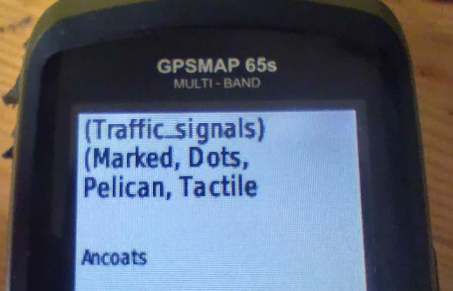
More recently I find myself addicted to OSM once more after a long hiatus. I guess working in the civil road design space has me interested in capturing features around the streets such as crossings, sidewalks, street furniture and recreation spaces.

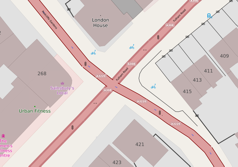
I’m shocked by the number of sidewalks I have found that cross a street not as a crossing. I’m fixing these as I find them.

My end goal is to try and resolve as many items from StreetComplete as I can around where I live and work, adding to the accuracy of the overall map model locally.

Having grown up in the Current River Area there are many same details I was able to add to the map such as small back roads that are mainly used my locals. Additionally one thing I noticed with is that many features where outdates. There where restaurants and stores that closed down years ago and new ones have since opened up in their place. So I updated the map to have the newest data. From using openstreetmap I learned a lot about citizen mapping and the people who live in an area know it the best to map it. But also using a mapping website open to the public comes with risks of inaccuracies. What I found to be challenging was that some houses weren’t properly lined up so it impacted when I tried to add a new house.

… and following on from the previous entry, Maps for Garmin devices at map.atownsend.org.uk now show crossing details too:

A picture of a Garmin handheld saying "(traffic_signals) (marked, dots, pelican, tactile"

The following tags from the top-level feature are shown:

  • traffic_signals or crossing
  • The value of crossing if it adds extra information
  • The value of crossing:island, crossing:marked, crossing_ref etc. if they add extra information.
  • Information from tactile_paving and kerb.

All of this might be truncated for length (it is here), but the most important information does appear.

Location: Central Retail District, City Centre, Manchester, Greater Manchester, England, M4 3AD, United Kingdom
Posted by Smith_VT on 5 November 2025 in English.

I am a new editor of OSM, and I thought I would explore the tools and update familiar areas for myself. I added and updated areas in Bronte Creek Provincial Park. The OSM tools made it really easy to add new areas, points of interest, add some walking trails and label everything with accurate details. The park was already mapped with buildings, trails, roads, parking lots and much more. A lot of what I found myself doing was adding newly labelled areas, ex. Cow Barn, Cow Pasture. I am very familiar with BCPP, and now anyone looking to go to the park can have a better idea of what is really there. OMS is very easy to navigate, and I enjoyed using this mapping software. Not only is it a great tool to add for other people to use, but it is also great to see what is really in your surroundings.

Posted by FrodoMappins on 4 November 2025 in English.

Ok, my good friend Butterball wanted to pay me a visit from Bree. You all know how he is, super braggy. He told me he just got a brand new iPhone version 1 with 20 KB of RAM. I was like, “Okay, cool, Butterball. We’ll see you. Just don’t be braggy.”

He wrote me a long letter promising me that he wouldn’t be braggy, but then he told me about a problem that he had. He had too many footpaths coming up on his map. He couldn’t find the way easily. Every time he brought up the map, his iPhone crashed. Check out the shire with all of the footpaths!

Crazy Map With Footpaths!

dense shire map

I told him, “Don’t worry, I’ll just modify his map with a new layer with just roads on it instead of all the other extra crap.”

I was like, Open Street Map is pretty awesome, but they include a lot of stuff in their layers, and then they let you just claw back what you want. I think what we want to do is modify it so we only show the tags that we want, so your map doesn’t crash. Does that sound like a good plan?

See full entry

A map of part of London

I have a couple of web maps, and they are supposed to show pedestrian crossings. If there’s some crossing infrastructure (for example - zebra stripes, or tactile paving and a lowered kerb) you’re supposed to see a “crossing” icon. If there are traffic signals associated with the crossing, that icon should be replaced with a “traffic signals” one.

Years ago it was straightforward - you’d get a highway=crossing tag on a node on the roadway, and there would be another tag, such as crossing_ref to say what sort of crossing it was. Some crossings (such as pelican, puffin and pegasus) have traffic signals; others (zebra and informal crossings) tend not to.

Unfortunately, it has got a lot more complicated.

Sometimes, the highway tag is crossing;<something> or <something>;crossing. Sometimes that something should be ignored and treated as a crossing.

See full entry

Location: Lot's Village, Brompton, Royal Borough of Kensington and Chelsea, Greater London, England, SW10 0PJ, United Kingdom

One of the most important things I learned about mapping with OpenStreetMap is how collaborative and detailed the global mapping community is. Every edit, no matter how small, contributes to a shared, constantly evolving map that supports navigation, humanitarian efforts, and local development. I realized how crucial accuracy and verification are, each feature needs to be placed and tagged correctly so that it’s useful for others. The most challenging part of editing OSM was learning the tagging system and ensuring that my edits followed mapping conventions. I mainly mapped in areas that lacked detailed data. Overall, the experience showed me how open data and collective participation can create powerful geographic resources that benefit communities around the world.

Location: Elbeu, Wolmirstedt, Börde, Saxony-Anhalt, 39326, Germany

I edited an area where I grew up and frequently return. I chose to focus on some features in this area, as I figured some would be missing or incorrect due to fewer resources to investigate them and their lower priority given the town’s smaller size. I decided to start with elements I knew were recent in the town, such as the opening, closing, or rebranding of businesses. Then I moved into land-use elements, as some areas were assigned to a broader category when a more specific use could be assigned. I updated some other features as well, like microfeatures in Murphy Park and Canada Post mailboxes, but I mainly focused on businesses and updating the elements around them. I learned that, in OSM, you can get a lot more detail on land use in an area, which I thought was a really nice feature. One of the challenges for me was finding the aforementioned resources. If I had not frequented this area, it would be difficult for me to understand what to update or add, as the larger mapping services are also outdated. I foresee this as a challenge with OSM: without someone in a small town committed to making changes, they will slowly lag behind the already slow giants in the industry.

Location: Smiths Falls, Eastern Ontario, Ontario, Canada
Posted by egknauff on 3 November 2025 in English.

The areas I mapped are familiar to me, so I was able to add new things that haven’t been marked on OpenStreetMap before. The most important thing about OpenStreetMap, to me at least, is how much contribution is needed to keep everything accurate and up to date. There were some edits in that area that were made 15 years ago, some that haven’t been modified to accurately display the area (under LuLu’s Variety, the block of houses is labelled as a park 15 years ago, when it isn’t a park now). The most challenge I had while editing was trying to accurately name certain buildings. For example, Itec Equipment is a building material supply store, but there weren’t any labels like “Supply Store” or “Building Supply Store”; the best I could label it with was “Rural Supplies Store, but I’m not sure if that is accurate.

Posted by aramimaidana on 3 November 2025 in English.

For this OpenStreetMap activity I focused on adding and improving features in an area I am familar with. I contributed information based on places I know, such as my University campus, which made the mapping process both meaningful and interesting to me. I think it is very important to share accurate and local information in OSM, because small details can make a big difference. I also noticed that some information around my area is outdated or incomplete, so in the future I would like to contribute more.

Posted by diwesser on 3 November 2025 in English. Last updated on 7 January 2026.

Paused due to seasonal work. I’ll get back to this at some point January.

I seem to have started on the questionable task of adding all the bus routes in Halifax.

I’ve been grabbing the route description from the Halifax Transit website, creating the route relations via Id and then adding to the relation with OSM Simple Route Editor. (I’d prefer to use OSM Relatify, but it seems to take a while to notice that the relation has been created or is having some other issue.) I have been using Relatify to verify that the route is correctly ordered and connected. I have also used the sort feature in JOSM “PT Assistant” plugin to deal with grumpy route alignment.

I have been doing inbound and outbound legs of the bus route as separate routes to avoid the complications from using the same way twice. In the case of the 1, they were already split like that with a master route that joined the two which seems rather elegant. But, it may be worth seeing if there is a way to join the halves together after the fact.

Here’s the overpass-turbo query I cobbled together to find current OSM routes (it mostly worked):

[out:json][timeout:25];
// gather results
(
  relation["type"="route"]["route"="bus"]["network:wikidata"="Q14875719"]({{bbox}});
  relation["type"="route"]["route"="bus"]["operator"="Halifax Regional Municipality"]({{bbox}});
  relation["type"="route"]["route"="bus"]["network"="Halifax Transit"]({{bbox}});
);
// print results
out meta geom;

So far I have found these routes either in OSM or via the current list of route descriptions:

See full entry

Posted by InfosReseaux on 1 November 2025 in English. Last updated on 27 December 2025.

Some news and visions about topic focused contribution monitoring capabilities of Podoma software

Podoma platform

For more than 6 years, former ProjetDuMois platform now Podoma was used to plan, encourage and monitor “Projects of the month” by French community (and some other countries too). It has been a significant progress for people responsible of those very short projects as it has freed us from the hassle of counting changesets and provides a mappers-friendly customized editor.

Podoma web interface for EVSE inventory

See full entry

Posted by foxandpotatoes on 30 October 2025 in English. Last updated on 2 March 2026.

Bank and ditch

Preliminary

This is a provisional report about a future proposition for specific tags for the following types of banks and ditches:

  • bank and ditch barrier
  • hedge and ditch barrier
  • fossé bordier
  • talus
  • old way (e.g. Tiense Groef)

About bank and ditch


Bank and ditch or hedge and ditch are man made earthworks in the landscape. All have a historic interest as being the landmark for present and past administrative boundaries. They were used to limit lands, parish, communes, forests, etc.

See full entry

I’m raising funds to purchase the historic 1:50,000 topographic map series of Eswatini (formerly Swaziland), so I can preserve and share them online as a seamless, zoomable mosaic - free for everyone.

In 2008 I successfully raised £1000 to acquire the equivalent series for Namibia (South West Africa). You can explore that project here: https://namibia-topo.openstreetmap.org.za/

Donate and more information: https://www.gofundme.com/f/purchase-historical-eswatini-topographic-maps

Location: Extension 3, Inkhundla Mbabane, Hhohho Region, H100, Eswatini

This is the story of how the cycling association measured streets in Bruges and got what they wanted - a cycling zone - 5 years after the initial campaign…

The setup

First some belgian road law. One of the peculariaties of Belgian is that we have the concept of a ‘cyclestreet’. This is a street where cars are not allowed to overtake cyclists - one of the tools to make cities more liveable. A cycle zone is similar, except that it is about multiple streets. It needs different traffic signs and is in effect until the “end of cycle zone”-traffic sign.

The cycling association of Bruges wanted a cycling zone in the entire city center. To force this, they devised a plan using a different law. The Belgian road code says that cars are not allowed to overtake a cyclist if the space between a cyclist and the car would be less then 1 meter.

In other words, if the cycling association could prove that most of the streets in Bruges are too small to legally overtake cyclists anyway, that would be a good starting point to force a cycle zone in the city. In practice, it would make the already existing situation more explicit.

Enter OpenStreetMap

As such, the local cyclist association asked me to help them in 2020, in the middle of the corona lockdowns.

I did create a custom version of StreetComplete to ask for the street width (a quest that StreetComplete would officially add about a year later).

And, as such, we got out into the city and, armed with a laser measurement device, took the width of every street in the historic center - a perfect activity to do during the corona lockdowns.

To display the information, I setup a custom map theme on MapComplete (which was quite young as well) to show the widths of the streets.

Using the measured width, parking and sidewalk information, MapComplete can automatically determine which streets are to small to officially overtake a cyclist.

See full entry

Location: Steenstraatkwartier, Brugge-Centrum, Brugge, Bruges, Brugge, West Flanders, 8000, Belgium

My morning walks got replaced by Car driving lessons.

I turn on my GPS and go for driving and after returning I upload the traces to OSM.

I am wondering other than uploading the GPS traces, is there any other way I can utilize my local knowledge to contribute to OSM.

Location: Ward 4, North Zone, Bhubaneswar Municipal Corporation, Bhubaneswar (M.Corp.), Khordha, Odisha, India

I’m honored to begin my journey as a 2025 Fellow with the Open Mapping Advocacy Network (OMAN) under the HOT Open Mapping Hub – West and Northern Africa (WNAH). Over the years, I have actively contributed to the open mapping ecosystem through OpenStreetMap Sierra Leone and YouthMappers, as a 2023 YouthMappers Leadership Summit Fellow and 2023–2024 YouthMappers Regional Ambassador for West Africa and a Trainer, OSM Sierra Leone. These experiences have shaped my passion for leveraging geospatial technology as a tool for sustainable development, data-driven decision-making, and youth empowerment.

I applied to join the OMA Fellowship because I deeply believe in the transformative power of open data and participatory mapping to promote inclusion, community actions, and resilience. The OMAN Learning Initiative provides a meaningful opportunity to expand my skills in course design, open mapping advocacy, and community engagement, while collaborating with my co-fellow to co-create impactful learning resources that empower local mappers and communities across West Africa. Together with my co-fellow Jimerveille Thierry-Ngouama, we’ll be co-developing the course “Open Mapping for City Management and Planning.” This learning initiative explores vital and practical themes such as: -Open Data for Sustainable Cities -Informal Settlement Mapping -Disaster Preparedness and Resilience -Disability Assessment and Accessibility Mapping -Revenue Generation and Urban Innovation These themes strongly resonate with challenges faced across West African cities, where limited access to reliable geospatial data often hinders effective governance and urban development. Open mapping offers a powerful and practical pathway to strengthen urban planning, disaster risk management, and inclusive infrastructure design ensuring that no community is left behind.

See full entry

Location: Mile 88, Tonkolili District, Northern Province, Sierra Leone, Sierra Leone